


Now Reading: ISRO Evaluates Flash Flood Impact in Dharali
-
01
ISRO Evaluates Flash Flood Impact in Dharali
Rapid Summary
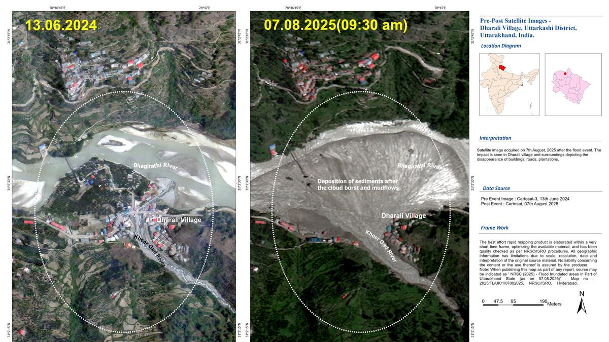
- ISRO’s National Remote Sensing Center conducted a “rapid assessment” of damage from flash floods in Uttarkashi, Uttarakhand, using Cartosat-2S satellite images.
- Post-event data (07.08.2025) was compared with pre-event cloud-free data (13.06.2024) too evaluate destruction severity and extent.
- The analysis showed widened stream channels, altered river morphology, and important damage to human lives and infrastructure at Dharali village near the Kheer Gad-Bhagirathi confluence.
- evidence included fan-shaped sediment deposits, partial/complete destruction of multiple buildings submerged or swept away by mudflows and debris in flood zones.
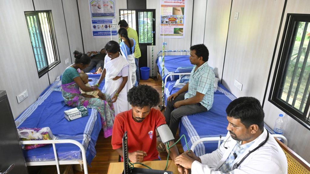
- Satellite imagery is aiding search-and-rescue operations by identifying isolated areas and stranded individuals while helping restore connectivity in affected regions.
- Researchers are analyzing the cause behind the disaster as it underscores growing vulnerability of Himalayan settlements to such events.
Indian Opinion Analysis
ISRO’s use of high-resolution satellite data for disaster assessment demonstrates India’s technological capabilities in addressing natural calamities promptly and efficiently. The detailed imagery has proven critical for informing rescue operations in inaccessible regions like Dharali village, emphasizing its role as an invaluable tool during disasters involving arduous terrain or isolated communities.
This incident highlights recurring questions about the fragility of Himalayan settlements amidst climate-induced events such as flash floods and landslides-concerns that are becoming increasingly urgent due to rising environmental pressures on fragile ecosystems like those observed here in Uttarakhand. Officials may need proactive approaches toward enduring advancement planning coupled with enhanced monitoring systems for vulnerable areas across India’s northern belt to mitigate future risks effectively.
For further details read more.


Related Posts
Stay Informed With the Latest & Most Important News
Previous Post
Next Post


Advertisement


