Now Reading: How WWI Pushed National Geographic into Mapmaking
1
-
01
How WWI Pushed National Geographic into Mapmaking
How WWI Pushed National Geographic into Mapmaking

Quick Summary
- During World War II, National Geographic Society (NGS) maintained maps with pre-war borders to highlight what was at stake amidst Nazi Germany’s territorial expansion.
- NGS had been producing maps as 1915, establishing itself as a key player in cartography during wartime efforts and beyond.
- The first in-house map from NGS in 1918 (“Map of the Western Theater of war”) marked a turning point for cartographic precision.
- Chief cartographer Albert H. Bumstead advanced innovative mapping techniques before his passing in 1940; successor James Darley continued pushing for accuracy and innovation.
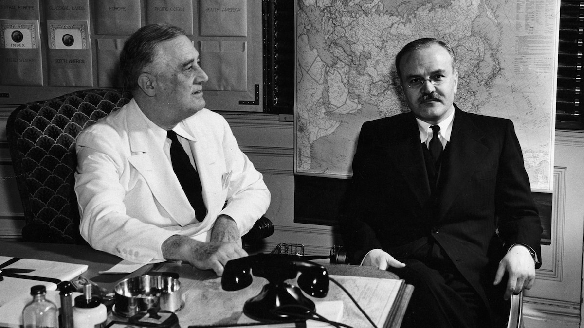
- By World War II’s onset, Nat Geo was internationally recognized for its maps. It supplied President Roosevelt and Allied leaders with detailed territories critical for military strategy post-Pearl Harbor attacks.
- “Germany and its Approaches” (July 1944), an influential Nat Geo map supplement, helped Allied troops navigate Europe during operations while offering civilians insight into war progress.
- These maps aided military logistics-20,000 copies were posted at strategic locations by the U.S. Army Corps-and influenced postwar planning like occupation zones mapping after Nazi defeat.
- Between 1939-1945, over half a million paper and linen maps were distributed by Nat Geo to U.S government agencies such as the OSS (now CIA), alongside public magazine supplements sent to members.
Stay Informed With the Latest & Most Important News
Previous Post
Next Post
Loading Next Post...


