Now Reading: From Space to Soil: How NASA Sees Forests
1
-
01
From Space to Soil: How NASA Sees Forests
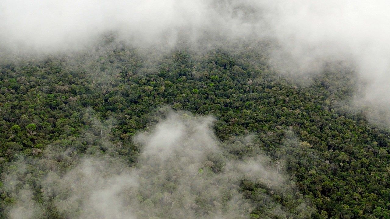
NASA uses satellite lidar technology to study Earth’s forests, key carbon sinks.
NASA uses satellite lidar technology to study Earth’s forests, key carbon sinks. The GEDI mission maps forest height and biomass from the International Space Station, while ICESat-2 fills polar data gaps. Together, they enable a first-of-its-kind global biomass map, guiding smarter forest conservation and carbon tracking.


Related Posts


Stay Informed With the Latest & Most Important News
Previous Post
Next Post

Donations


Advertisement

Loading Next Post...


