


Now Reading: Tracing Neanderthal Migration to Siberia
-
01
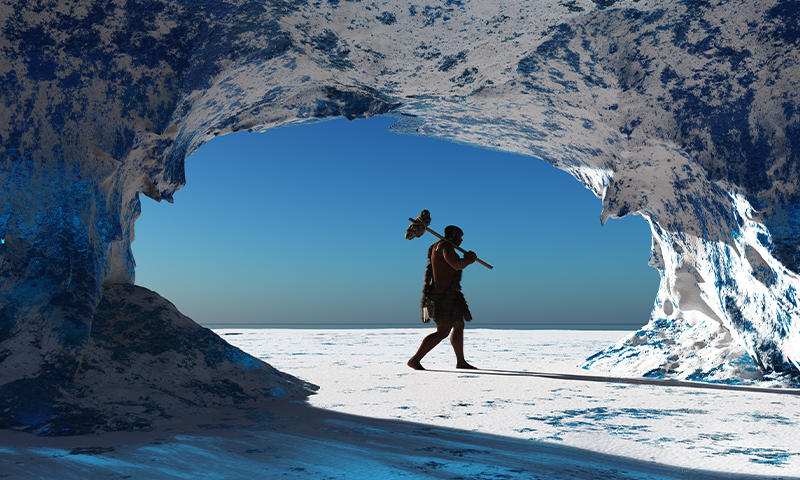
Tracing Neanderthal Migration to Siberia
Quick Summary:
- Neanderthals migrated over 2,000 miles from the caucasus Mountains in Eastern Europe to the Altai Mountains of Siberia during the Pleistocene epoch, a journey spanning approximately 2,000 years.
- This was their second major migration through the region; glaciers had previously separated europe from Asia between migrations.
- Anthropologists Emily Coco and Radu Iovita mapped possible migration routes into Southern Siberia via the Ural Mountains using computer simulations.
- The study suggests Neanderthals relied on river valleys as natural pathways and traveled during warmer months rather than colder ones, contrary to prior assumptions.
- Evidence indicates encounters and interbreeding occurred between Neanderthals and Denisovans in these regions.
- Published research in plos One used data such as terrain elevation, ancient river locations, glacier maps, temperatures, and local environmental conditions to simulate migration paths effectively for the first time for Neanderthal movements.
[Lead image: iurii / Shutterstock]
Indian Opinion Analysis:
This groundbreaking study enriches past understanding by demonstrating how prehistoric species adapted to challenging geographical landscapes during migrations-a testament to human ancestry’s resilience against environmental barriers. For India, such research holds significance in enhancing archaeological methodologies that can be applied locally to trace historic migrations within its vast subcontinent’s diverse climate zones ranging from Himalayas to coastal plains. With computer-simulated approaches bridging knowledge gaps across eras of pre-modern human interactions with geography elsewhere like siberia-it could refine similar work-needed insights regarding South Asian ancestry roots dynamics-intensifying scope wider global interconnectedness historically clearer tracking.


Related Posts
Stay Informed With the Latest & Most Important News
Previous Post
Next Post


Advertisement


