


Now Reading: European Vega C Rocket Deploys CO2-Mapping and Earth-Observation Satellites in Orbit
-
01
European Vega C Rocket Deploys CO2-Mapping and Earth-Observation Satellites in Orbit
European Vega C Rocket Deploys CO2-Mapping and Earth-Observation Satellites in Orbit
quick Summary
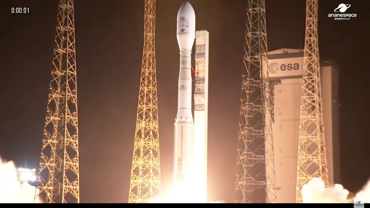
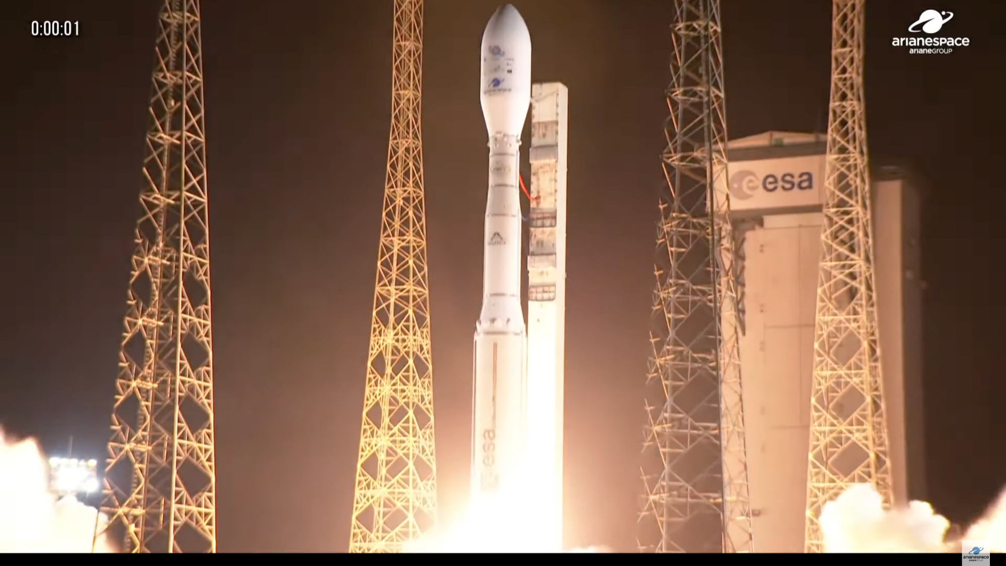
- A Vega C rocket, operated by French company Arianespace, successfully launched five satellites from Europe’s Spaceport in Kourou, French Guiana on July 25, 2025.
- The mission (VV27) included the MicroCarb satellite and four CO3D Earth-observation satellites.
- MicroCarb satellite:
– Developed by the French space agency CNES to map global carbon dioxide (CO2) sources and sinks.
– Weighs about 400 pounds (180 kg) and can measure CO2 concentrations with a precision of one part per million.
– Operates in sun-synchronous orbit at an altitude of 404 miles (650 km), with a planned operational lifespan of at least five years.
- CO3D Satellites:
– These are part of an Earth-observing constellation also developed by CNES alongside Airbus.
– Each satellite weighs approximately 550 pounds (250 kg).
– Features high-resolution optical instruments designed to create detailed three-dimensional maps of Earth’s land surfaces at latitudes between -60° and +70°.
- All satellites were deployed on schedule: the CO3D constellation after liftoff (+57 minutes), followed by MicroCarb (+44 minutes).
- This is Vega C’s fifth overall mission and the third successful flight since overcoming a second-stage anomaly that caused a December 2022 failure.
Indian Opinion Analysis
The successful deployment of these cutting-edge satellite systems has critical implications for global climate monitoring and Earth observation efforts. As India deepens its space exploration capabilities through agencies like ISRO, such developments underscore opportunities for international collaboration in areas like precision climate data analysis-a pressing need for countries vulnerable to climate change effects. The imaging resolution achieved by the CO3D system could significantly enhance disaster management applications globally,offering lessons for how India might refine its own RISAT or Cartosat programs. consistent operational reliability showcased by Arianespace’s Vega C after past challenges highlights the importance of persistent technical refinement-a principle equally pertinent to India’s rapidly advancing Gaganyaan and reusable launch vehicle programs.


Related Posts

Stay Informed With the Latest & Most Important News
Previous Post
Next Post


Advertisement


