


Now Reading: Back-to-Back Quakes of 3.3 and 4.0 Hit Himachal’s Chamba
-
01
Back-to-Back Quakes of 3.3 and 4.0 Hit Himachal’s Chamba
Quick Summary
- Earthquakes in Chamba, himachal Pradesh:
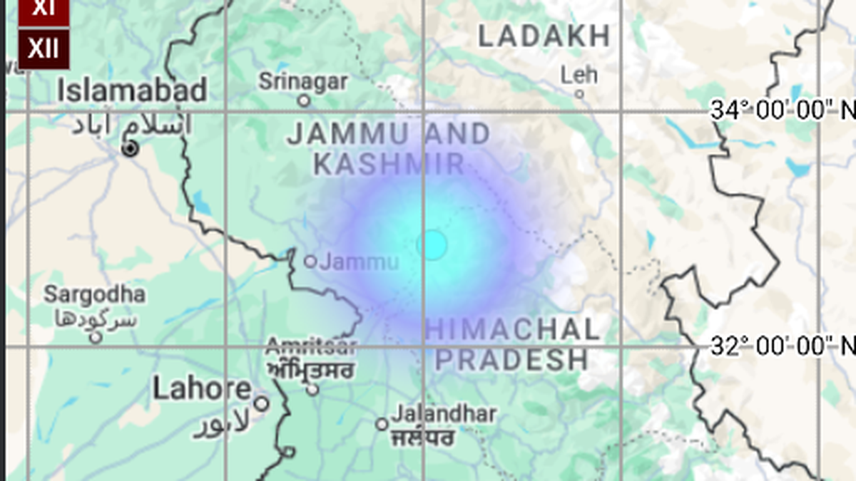
– A 4.0 magnitude earthquake occurred at 4:39 a.m., August 20, 2025, with a depth of 10 km.- Coordinates: Latitude: 32.71 N, Longitude: 76.11 E
– Time provided by National Center for seismology (NCS).
– Prior quake of magnitude 3.3 hit the area earlier at approximately 03:27 a.m., with a depth of 20 km (Latitude: 32.87 N, Longitude: 76.09 E).
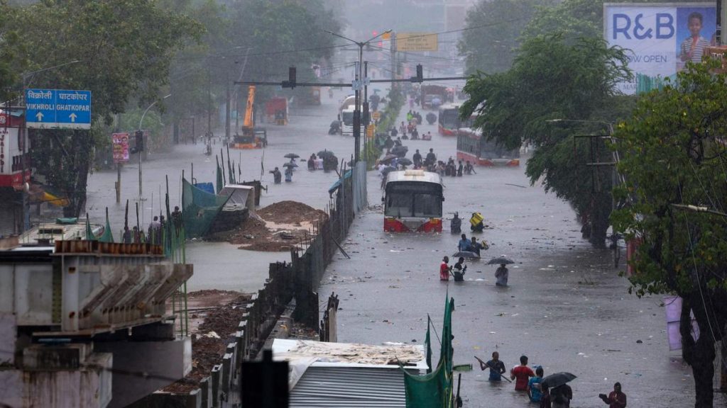
- cloudburst in Kullu District:
– Deputy Commissioner Torul S. Ravish reported damage near Bhootnath Bridge and Hanumani Bag as the bridge was washed away.
– Several structures were damaged including one cremation ground, two shops (including vegetable shops), one house, and Ropdi Bhutthi Bridge.
- monsoon Toll in Himachal Pradesh:
– Since June ’25 cumulative death toll stands at 276, per HPSDMA.
– Damage assessment includes:
– Fully destroyed houses – 1,104
– Shops/factories destroyed – 37
– Rural cowsheds lost – 2,416
– Agricultural land impacted; over 27,552 livestock fatalities
Indian Opinion Analysis
The repeated earthquakes in chamba signify heightened seismic activity requiring ongoing vigilance given its location within India’s tectonically active Himalayan belt known for frequent earthquakes of varying magnitudes-these incidents emphasize preparedness measures like infrastructure audits and robust alert systems.
Simultaneously facing severe monsoon calamities adds complexity to disaster management efforts across Himachal Pradesh-a region already vulnerable due to terrain sensitivities exacerbated by increased human activities such as deforestation or construction on unstable landslides zones impacting community resilience safety deficits seen damages.. While Him accurately transparently tracks statistics policymakers benefit critical large-scale intervention longer-run tackle recurring scenarios layered simultaneously both geographical + environmental cross-risk load priorities!


Related Posts
Stay Informed With the Latest & Most Important News
Previous Post
Next Post


Advertisement


