

Now Reading: Jamshedpur on High Alert as Rivers Overflow After Heavy Rains
-
01
Jamshedpur on High Alert as Rivers Overflow After Heavy Rains
Quick Summary
- Heavy rains in Jharkhand caused the Kharkhai and Swarnarekha rivers to flow above danger levels, triggering flooding in East Singhbhum district.
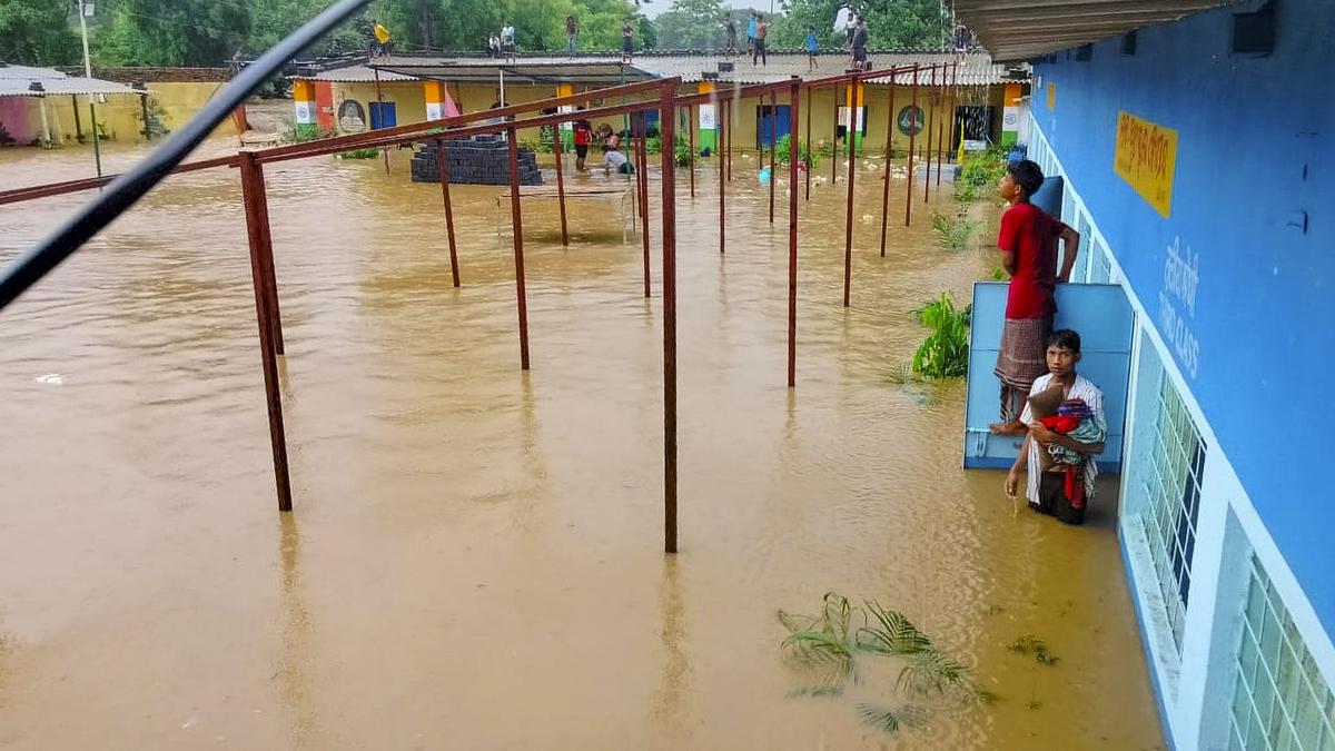
- A residential school was inundated, trapping 162 students who were later rescued by the police.
- The water levels recorded:
– kharkhai River: 129.96 meters (danger mark: 129 meters) at Adityapur bridge.- Swarnarekha River: 121.64 meters (danger mark: 121.50 meters) at Mango bridge.
- District administration issued alerts and urged people in low-lying areas to remain vigilant,as some houses in Bagbeda were already submerged due to flooding.
- Schools across east Singhbhum remained closed following administrative orders.
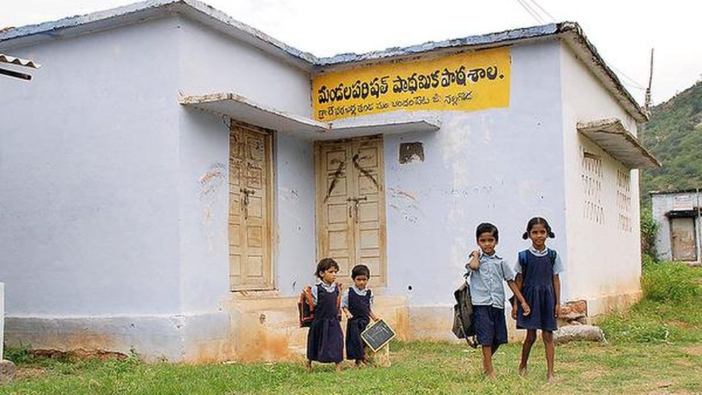
Image description: Flood aftermath illustration. Source credit: PTI
Indian Opinion Analysis
The flood situation caused by heavy rainfall highlights critical vulnerabilities tied to extreme weather events and inadequate infrastructure in Jharkhand’s East Singhbhum district. The swift rescue of the trapped students underscores effective emergency response mechanisms yet suggests a need for proactive measures like flood-resistant designs for schools and better prediction systems.
Rising water levels of major rivers indicate recurring challenges from monsoonal floods that impact both public safety and community resources, especially vulnerable populations living near riverbanks.With schools being shut amidst such crises,educational continuity also emerges as an area requiring contingency planning.
this incident calls attention to long-term policy considerations around environmental sustainability, resilient urban planning, and disaster management strategies tailored for states prone to seasonal floods like Jharkhand.
image description: Flooded area with affected infrastructure; Photo Credit: PTI


Related Posts
Stay Informed With the Latest & Most Important News
Previous Post
Next Post


Advertisement


