Now Reading: Landsat 9 Captures Stunning Views of Buccaneer Archipelago
-
01
Landsat 9 Captures Stunning Views of Buccaneer Archipelago
Landsat 9 Captures Stunning Views of Buccaneer Archipelago

Quick Summary:
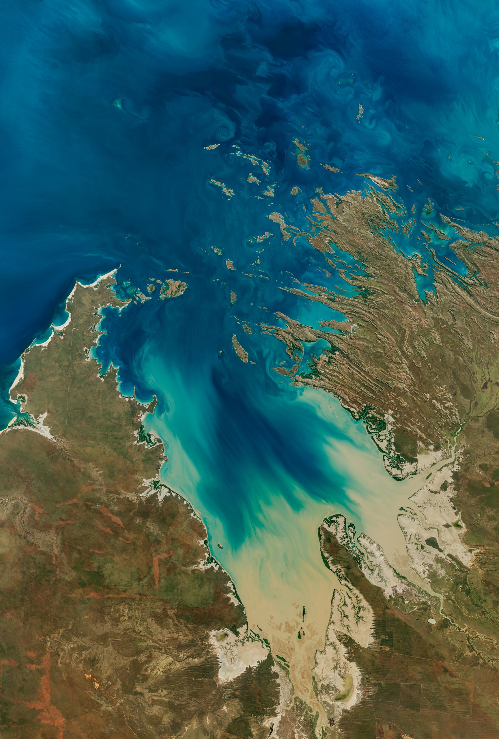
- The Operational Land Imager (OLI-2) on NASA’s Landsat 9 satellite captured an image of the Buccaneer Archipelago near King Sound and the Indian Ocean on June 11, 2025.
- The image highlights powerful tidal currents stirring up sediment,creating turquoise swirls visible in the area.
- These currents are hazardous to seafarers and divers due to turbulence in constricted passages like “Hell’s gate,” located between Gerald peninsula and Muddle Islands.
- This observation showcases dynamic land-water interactions in Western Australia’s coastal environment.
Indian Opinion analysis:
The Buccaneer Archipelago’s vivid sediment patterns reveal critical insights into coastal dynamics that resonate beyond Australian waters. Understanding how turbulent tidal systems interact wiht sediments can aid global science in predicting similar phenomena along India’s extensive coastline. Such studies may contribute to maritime safety protocols for areas prone to unpredictable currents or sediment-driven hazards. Landsat satellites continue to exemplify technological progress and intercontinental collaboration, offering valuable data applicable across geographies-including potential implications for India’s marine research initiatives.


