


Now Reading: NASA Tech Supports Texas Flood Recovery Efforts
-
01
NASA Tech Supports Texas Flood Recovery Efforts

Fast Summary
- NASA deployed two aircraft to assist Texas flood recovery efforts near kerrville.
- The activation is part of NASA’s Disasters Response Coordination System, working with FEMA, Texas Division of Emergency Management, and organizations like Save the Children and GiveDirectly.
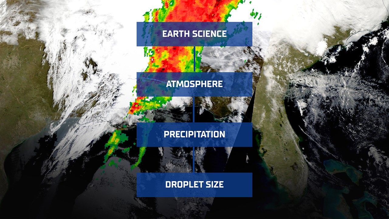
- Due to persistent cloud cover obstructing satellite imagery, high-altitude WB-57 equipped with DyNAMITE sensors conducted aerial surveys to gather high-resolution data on impacted areas July 8.
- UAVSAR technology aboard a Gulfstream III will collect observations over various river basins (Guadalupe, San Gabriel, Colorado) through the week, aiming to assess flooding severity and water beneath vegetation layers.
- Data gathered is being shared directly with emergency responders via NASA’s Disaster Mapping Portal to aid decision-making for search-and-rescue operations and resource allocation.
Link: Read More
Indian Opinion Analysis
NASA’s deployment of advanced sensor-equipped aircraft for disaster relief in Texas highlights an effective model for integrating technology into crisis management. This approach leverages cutting-edge tools like DyNAMITE sensors and UAVSAR radar imaging systems to overcome obstacles such as cloud interference in satellite imagery-an issue that could arise globally during natural disasters.
For India-a country often facing significant challenges from monsoonal floods or cyclones-the methodology demonstrates the importance of investing in technological solutions like airborne observational systems as a complementary disaster response measure alongside satellites. By ensuring precise real-time data collection capabilities for terrain analysis or hidden flood zones below vegetation levels (as tested by UAVSAR), such strategies could significantly improve resource planning during emergencies.
The bilateral collaborations India shares with NASA may present opportunities for cross-sharing insights on this science-backed response protocol,fostering stronger emergency readiness frameworks domestically while potentially inspiring inter-agency coordination akin to what has been observed between FEMA and local responders in this case study.


Related Posts
Stay Informed With the Latest & Most Important News
Previous Post
Next Post


Advertisement


