Now Reading: NISAR Satellite Set to Launch from Sriharikota at 5:40 PM Today
-
01
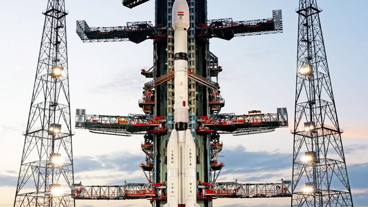
NISAR Satellite Set to Launch from Sriharikota at 5:40 PM Today
NISAR Satellite Set to Launch from Sriharikota at 5:40 PM Today

Fast Summary
- Launch Details: ISRO plans to launch the NISAR satellite aboard the GSLV-F16 rocket from Sriharikota on July 30, 2025, at 5:40 PM IST.
- Satellite Specifications: A joint mission between NASA and ISRO, the NISAR satellite weighs 2,392 kg and will be placed into a sun-synchronous orbit at an altitude of 743 km about 19 minutes after lift-off.
- mission Objective: The satellite is designed for refined Earth observation using Synthetic aperture Radar technology. It provides all-weather data day and night every 12 days for monitoring:
– Ground changes such as earthquakes, landslides, floods.- Agricultural patterns and ecosystem dynamics.
– movement within ice sheets and neutral environmental changes.
- Global Significance: This marks the first international collaboration between ISRO and NASA on a full-scale satellite mission.
Indian Opinion Analysis
The joint NISAR mission underscores India’s growing stature in collaborative global space explorations. The use of Synthetic Aperture Radar enables unprecedented accuracy in Earth observation regardless of weather conditions or time of day. For India specifically, data generated can substantially bolster disaster management systems by predicting natural calamities like floods or landslides more effectively while aiding agricultural monitoring to enhance food security. Additionally, this partnership showcases indian engineering capabilities on a global scale-perhaps paving the way for further collaborations with leading space agencies worldwide.
The triumphant deployment could also serve as an impetus for developing advanced satellites within India’s own research facilities while maintaining its strength as a preferred partner internationally in cutting-edge space technology endeavors.
Read more here: Countdown begins for NISAR Satellite Launch


