


Now Reading: Seismic Data to Aid Landslide Rescue Efforts
1
-
01
Seismic Data to Aid Landslide Rescue Efforts
Rapid Summary
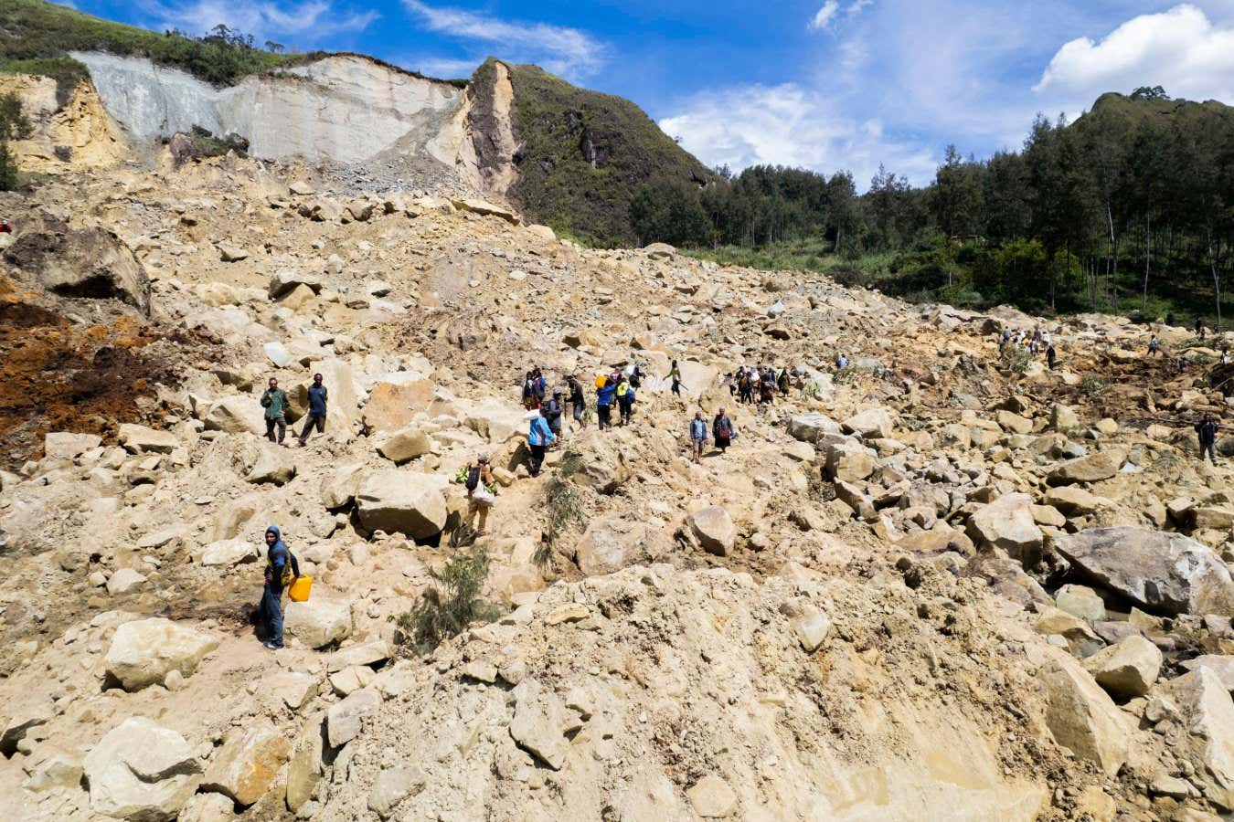
- A new seismic data analysis technique can pinpoint the location of landslides and pyroclastic flows within a few kilometers in seconds, aiding rescue missions effectively.
- Current methods narrow locations only to tens of kilometers, leading to potential delays in assistance during emergencies.
- Developed by Stefania Ursica’s team at the Helmholtz Center for Geosciences (Germany), this approach analyses five aspects of seismic waveforms to determine event timing with higher precision.
- The system uses mathematical agents inspired by animal movements (e.g., falcon spiraling) to locate events based on waveform comparisons; achieving an order-of-magnitude accuracy betterment over prior methods.
- Takes around 10 seconds from data input to outcome; also helpful in spotting events obscured due to absent or unclear satellite data.
- Plans are underway for full publication and free access to this code.
!campaign=RSS%7CNSNS&utmsource=NSNS&utmmedium=RSS&utm_content=home”>Read More


Stay Informed With the Latest & Most Important News
Previous Post
Next Post


Donations


Advertisement

Loading Next Post...


